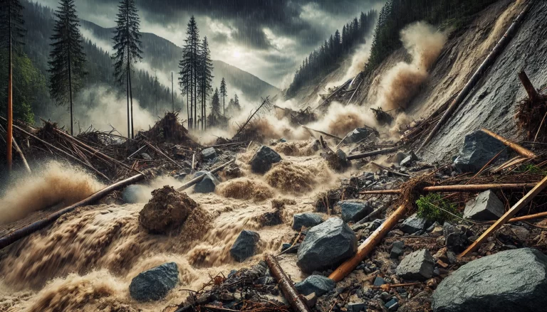
Debris flow is a common natural disaster, usually occurring in mountainous or hilly areas, especially in seasons with heavy rainfall. Due to its suddenness and strong destructive power, it poses a serious threat to people’s lives and property.
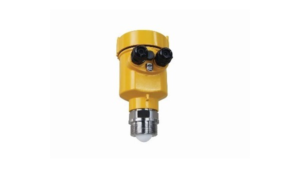
Therefore, monitoring and early warning of debris flow are extremely important. Radar level meter, as an advanced measurement tool, has been widely used in real-time monitoring of debris flow.

Debris flow is a special torrent containing a large amount of sediment and rocks, with the characteristics of fast flow rate and strong scouring force.
Its formation is often related to many factors such as geological structure, terrain slope, vegetation coverage and precipitation. Under natural conditions such as rainy season or earthquake, debris flow may occur suddenly, bringing disastrous consequences to downstream areas.
In order to effectively prevent and mitigate debris flow disasters, researchers and engineers have developed a variety of monitoring technologies.
Among them, radar level meter is favored for its non-contact measurement, high precision and ability to adapt to harsh environments.
Radar level meter measures the distance by emitting electromagnetic waves and receiving their reflected waves, and then calculates the height and flow of the fluid.

In a certain mountainous area, debris flow disasters have occurred many times in history. For this reason, the local government deployed a debris flow monitoring system based on radar level gauges.
The system includes radar level gauges installed at the potential debris flow source and key points on the path, as well as a central control room for data transmission and processing. After a heavy rainfall, the monitoring system successfully captured the precursor signal of the debris flow.
The radar level gauge continuously recorded the rapid rise of the water level in the basin and sent the data to the central control room in real time through wireless transmission.
According to the trend of data changes, analysts issued early warnings to the downstream residential areas in a timely manner. Thanks to this timely warning, local residents were able to evacuate to a safe area quickly, avoiding possible casualties and property losses.
In addition, through in-depth analysis of the data collected by the radar level gauge, the researchers also discovered the potential laws of debris flow occurrence, providing valuable scientific basis for future disaster prevention and mitigation.
The data also helped engineers optimize the design of debris flow prevention and control projects, such as adjusting the location and structure of the sand dam to improve its interception efficiency.

The application of radar level meter in debris flow measurement demonstrates the important role of modern technology in natural disaster monitoring.
By accurately measuring various parameters of debris flow, radar level meter can not only realize timely warning of disasters, but also provide scientific data support for disaster prevention and control.
